Beyond groundwater: understanding a transboundary karst system through monitoring
When people think about groundwater monitoring, they often imagine measuring water levels in a well or analysing water quality in a spring.
But understanding a transboundary karst aquifer requires much more than monitoring groundwater alone.
Rainfall enters the system. Groundwater stores and transports it. Springs and rivers respond to changing water conditions, while ecosystems react to changes in water quality and quantity. No single measurement can explain how a karst aquifer functions. Understanding the system requires bringing together different sources of information.
This was the focus of a DIKTAS II field mission carried out in April 2026 across the Cemi/Cijevna Transboundary Aquifer area in Albania and Montenegro. Over three days, hydrogeologists, biodiversity specialists and DIKTAS II project manager visited a series of proposed monitoring locations to verify site conditions and assess how different monitoring activities can contribute to a shared understanding of the aquifer.
Rather than looking at a single type of data, the mission explored how groundwater, surface water, biodiversity and climate observations can be combined into one integrated monitoring system.
Where different sources of information come together
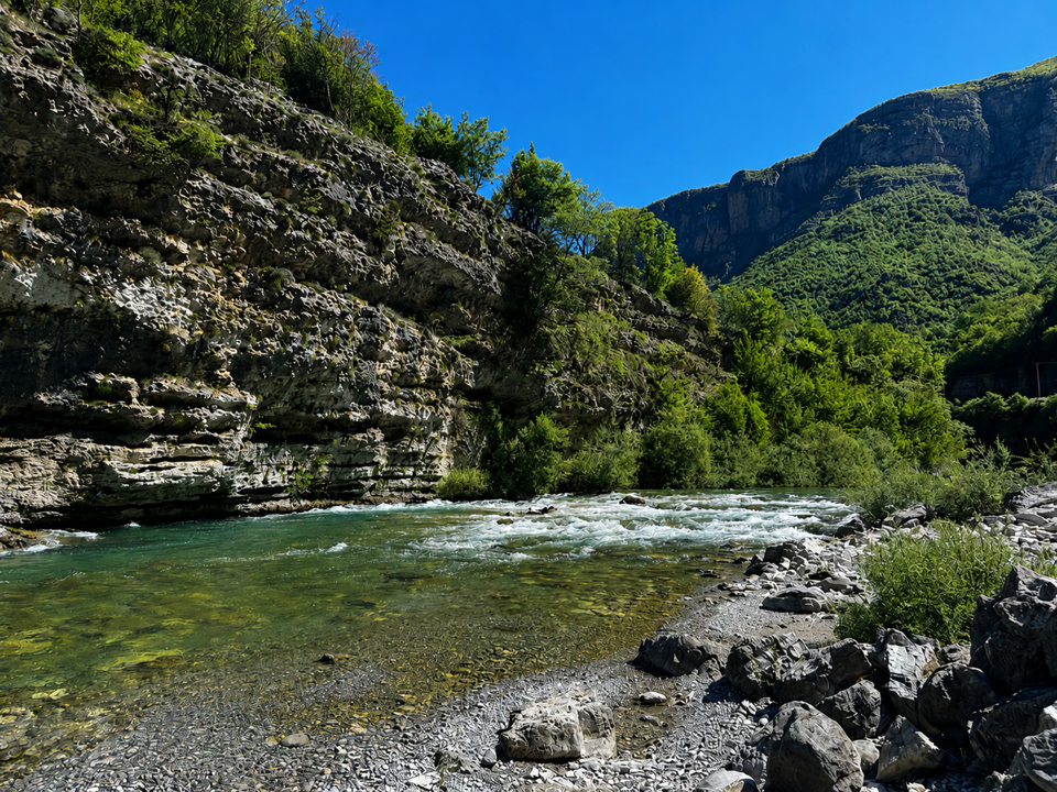
One of the first locations visited during the mission was the Grabom border area along the Cemi/Cijevna River.
At first glance, Grabom appears to be a river-monitoring site. In reality, it is one part of a much larger monitoring network designed to understand how groundwater, surface water and rainfall interact across the transboundary karst aquifer.
Here, experts assessed locations for groundwater quantity and quality monitoring, isotope monitoring and surface-water observations. Planned rainfall sampling would help scientists better understand how precipitation contributes to groundwater recharge and how water moves through the aquifer.
Together, these observations help answer a broader question: how does water move through the transboundary system, and how do conditions change over time? This integrated approach reflects a key principle of the monitoring network being developed through DIKTAS II: understanding groundwater requires understanding the wider system around it.
Following the connections between water and climate
Water does not respond only to geology. It also responds to weather and climate.
At Tamara village, experts reviewed plans for river discharge monitoring and a telemetric station designed to support continuous data collection and transmission. Climatic observations are also planned at several locations within the monitoring network.

Caption: Experts assess a proposed monitoring location near Tamara, Albania. Hydrological and climatic observations collected here will contribute to a more complete understanding of how the aquifer responds to environmental conditions and seasonal change.
Credit: DIKTAS II project
These measurements help place groundwater and river observations into context. Changes in groundwater levels, spring discharge or river flow often reflect broader environmental conditions, including rainfall patterns, seasonal variability and longer-term climatic trends.
By combining hydrological and climatic observations, experts can better understand how the aquifer responds to both natural processes and environmental pressures.
Learning from ecosystems and their indicators
The mission also highlighted another important source of information: biodiversity.
Several locations were assessed for physical-chemical and biological monitoring, including Vukel Spring in Albania and Krvenica Cave Spring in Montenegro. A cave near Tamara was also identified as a site for subterranean biodiversity monitoring.
These sites help experts understand groundwater-dependent ecosystems and the species that rely on them.

Caption: Plecoptera (stonefly larvae) found during fieldwork near Vukel village, Albania. The presence of sensitive species can help reveal the health of freshwater ecosystems and highlight the close connection between groundwater, rivers and biodiversity.
Credit: DIKTAS II project
Monitoring biodiversity alongside hydrological conditions can reveal changes that may not be immediately visible through water measurements alone. Ecosystems respond to the conditions around them, making them valuable indicators of the overall health of the aquifer.
In this way, biodiversity monitoring complements groundwater, river and climate observations, helping build a more complete understanding of how the system is functioning.
Building a shared picture across borders
Because the Cemi/Cijevna Aquifer Area is shared by Albania and Montenegro, monitoring also needs a transboundary perspective.
The mission included existing groundwater monitoring boreholes, proposed new monitoring locations, river-monitoring sites and spring observations on both sides of the border. Each contributes different information, but their value increases when they are interpreted together.
By linking these locations into a common monitoring framework, countries can develop a shared understanding of how the aquifer behaves and how conditions evolve over time.
The goal is not simply to collect more data. It is to generate knowledge that supports groundwater protection, ecosystem conservation and informed decision-making.
Building knowledge for long-term protection
The April 2026 field mission marked an important step in moving from monitoring design to implementation.
By verifying locations in the field and assessing how different monitoring components fit together, experts helped lay the foundation for a network capable of observing the aquifer from multiple perspectives.
Groundwater remains at the heart of the system. But understanding and protecting it requires looking beyond groundwater alone.
From rainfall collectors and river gauges to springs, boreholes and biodiversity monitoring sites, each observation contributes a different piece of the puzzle. Together, they provide the knowledge needed to better understand and protect the shared Cemi/Cijevna karst system for the future.
Contact us
For more information about DIKTAS II, please contact Sinisa Sesum, Head of UNESCO Antenna in Sarajevo, s.sesum@unesco.org; and Boban Jolović, Project Manager, b.jolovic@unesco.org.